A chart is a tool, not a portrait
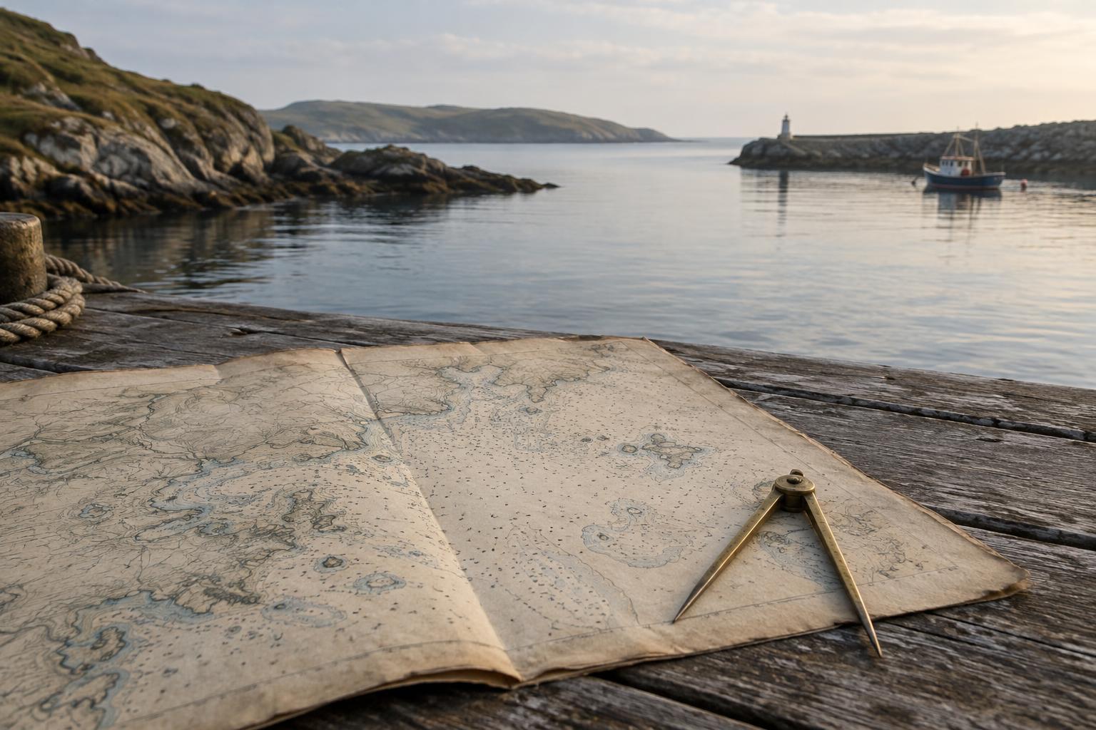
A historic nautical chart invites you to trace a voyage with your eyes: a narrow channel, an island at the edge of a bay, a harbor sheltered from open water. But its first purpose was usually practical. It helped someone make decisions at sea. That purpose shaped what the mapmaker chose to show, how precisely it was drawn and which areas received the most attention.
Before reading a chart as a picture of a place, look for its title, maker, date, scale and intended waters. A harbor plan may offer detailed depths while saying little about the surrounding region. A chart covering a long coast may emphasize headlands and approaches but simplify inland terrain. Copies and later editions can also carry updates, so the date printed on a chart may not tell the whole story of when every detail was observed.
The marks that helped sailors find their way
Coastlines, islands and conspicuous headlands gave mariners features to recognize from the water. Soundings marked measured depths, while symbols or notes might identify shoals, reefs, rocks and anchorages. Some charts included views of the coast as it would appear from offshore. These details reveal a seaward way of seeing: a hill matters because it can be spotted from a deck; a patch of shallow water matters because it can stop a vessel.
The pattern of detail can be as revealing as any single mark. A heavily annotated harbor suggests that navigating its entrance mattered to the chart’s intended users. A sparsely drawn stretch of coast may reflect limited surveying, a different route of travel or choices made at the chartmaker’s desk. Blank space does not necessarily mean an empty place. It may mean the chart was not designed to describe what happened there.
Names and boundaries tell another story
Place names can offer clues to trade, settlement and political claims, but they need careful reading. A chart may use a name familiar to visiting sailors rather than one used by people who lived on the coast. Different charts can name the same bay or island differently. Comparing them can reveal whose language or authority a particular chart privileged, without assuming that any one label was universally accepted.
Lines can be equally persuasive and equally incomplete. A neat shoreline makes land look settled and fixed, even where sandbars shift or river mouths change. An administrative boundary may record a claim rather than describe how people used or understood a place. Read such marks alongside the chart’s purpose: was it made to guide entry into a port, document a survey or present a territory to distant readers?
The knowledge beyond the page
Charts rarely hold every kind of knowledge needed to travel safely. Weather, tides, seasonal currents and the behavior of a particular inlet may be difficult to capture in a static drawing. Mariners also relied on observation and on people familiar with local waters. Pilots, fishers, coastal residents and Indigenous communities could possess knowledge that a chart used, overlooked or failed to credit.
The absence of people is especially easy to miss. A chart can make a coast appear to consist only of hazards, depths and useful landing places, while leaving out homes, working shores, sacred sites and customary routes. That omission does not make the chart worthless. It makes it a particular kind of evidence: valuable for understanding the needs and viewpoint of its makers, but insufficient as a complete account of coastal life.
How to read one with curiosity and care
Start with a small area rather than trying to absorb the whole sheet. Follow the likely approach from open water toward a harbor. Notice where depths become denser, where warnings appear and which landmarks would be visible to someone arriving by sea. Then turn the question around: what would a resident walking the shore need to know that this chart does not show?
If a museum or archive provides context, use it to identify the chart’s maker, audience and later revisions. Compare the chart with other accounts of the same coast where you can, especially those that include local perspectives. Treat differences as questions to explore, not errors to resolve too quickly. And keep historic charts in the realm of interpretation, not navigation: coastlines, depths and navigational guidance can change. Their lasting value is the conversation they open about journeys, knowledge and whose view of the sea reached the page.