A working language on the water
From a ferry deck, a harbor can look like a loose collection of colored floats, posts and flags. Each may have a particular job: guiding vessels through a channel, drawing attention to a hazard or conveying a message between boats and shore. Together, they form part of a working landscape shaped by local geography and generations of seafaring.
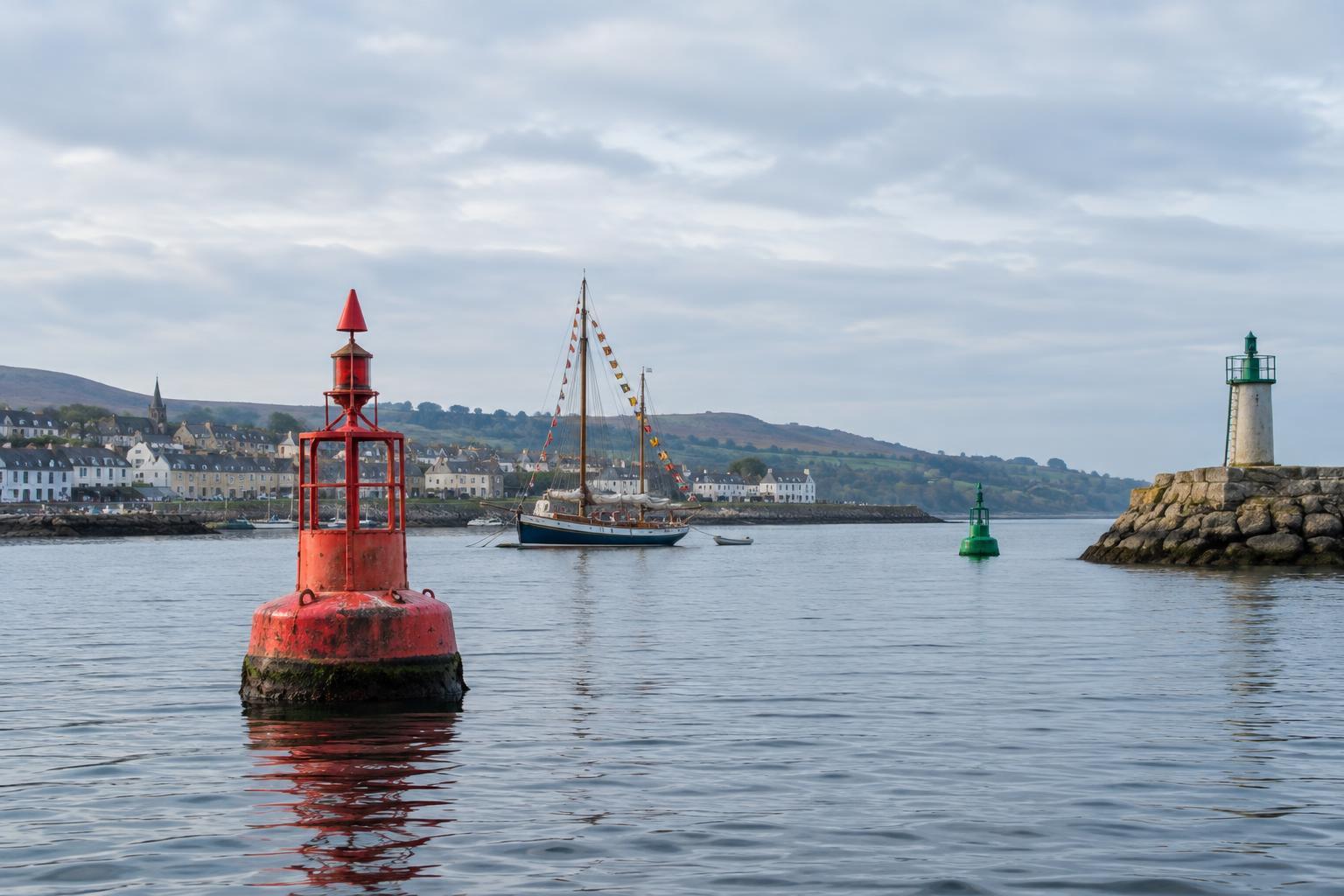
The first distinction is simple. A buoy floats and is anchored to the seabed, although its position can shift within the limits of its mooring. A beacon is fixed in place, often on a post, rock or structure. Either may carry a light or a distinctive shape at its top, called a topmark. Flags are different again: they are displayed by vessels or at shore facilities to communicate information. Knowing which kind of marker you are looking at is the best place to begin.
Reading buoys and beacons in context
Lateral markers help define the sides of a navigable channel. They are often red or green, but color alone does not tell the whole story. The side indicated by each color depends on the buoyage region and the direction in which a channel is being followed. A rule remembered from one coastline can therefore be misleading on another. Local charts and guidance provide the context that a distant glimpse cannot.
Other markers answer different questions. Cardinal marks indicate where safer water lies relative to a danger: north, east, south or west of the mark. Their black-and-yellow patterns and paired cone topmarks help identify them in daylight. An isolated danger mark identifies a hazard with navigable water around it, while a safe-water mark can indicate water considered safe all around the mark. Special marks may identify a designated area or feature rather than a channel edge.
At night or in poor visibility, lights add another layer of identification. A light’s color and rhythm can distinguish one mark from its neighbors, but a shore light, a boat’s navigation lights and reflections can complicate the view. For a traveler, the useful lesson is not to memorize every pattern. It is to notice that the flashes are deliberate, and that each marker makes sense only as part of a larger route.
What signal flags can say
Bright flags add movement to a marina or working harbor. The International Code of Signals assigns meanings to individual flags and combinations of flags so that vessels can communicate even when they do not share a spoken language. Some flags can convey a complete message on their own; others may form part of a longer signal. Their meaning depends on how and where they are flown.
Not every colorful string of flags is an operational message. Boats may dress overall for a celebration, while clubs, ports and events may display their own flags. A flag seen on a fishing boat, a harbor building or a visiting ship may serve a different purpose in each setting. Rather than guessing from a single color, look at the vessel, the occasion and any accompanying signs. This habit makes harbor watching more interesting without mistaking decoration for an instruction.
Markers as maritime heritage
Modern markers are practical tools, but they also reveal how a coast is used. A line of buoys may trace the deeper passage through a shallow estuary. A beacon on an exposed point hints at the risks posed by rocks or changing tides. Near a busy harbor, different marks may reflect the needs of ferries, fishing vessels and smaller craft sharing limited space.
Their appearance can change as equipment is repaired or routes are altered. That makes it worth looking beyond the most picturesque lighthouse. Modest posts, harbor entrance lights and maintained buoys are part of the same story: people making a difficult boundary between land and sea more legible. Maritime museums, harbor displays and locally published guides can add detail about particular markers without assuming that every coast follows the same history.
How to observe them on a slow coastal trip
Choose a safe public viewpoint overlooking a harbor entrance, ferry route or sheltered channel. Watch how vessels pass the markers, and note whether a buoy floats, a beacon stands fixed or a flag flies from a boat. If you have access to an up-to-date local chart or harbor information, compare what you see with its symbols. You may find that a mark which looked isolated from shore is one step in a carefully defined route.
Keep a respectful distance from working quays and never treat an observation exercise as a substitute for navigation. Markers can be moved, obscured or misunderstood, and conditions on the water can change quickly. For a visitor, their greatest value may be the questions they prompt: Where is the safe passage? What hazards shape this coastline? Who depends on these signals every day? Following those questions turns a harbor view into a closer encounter with coastal life.