Start with the water’s edge
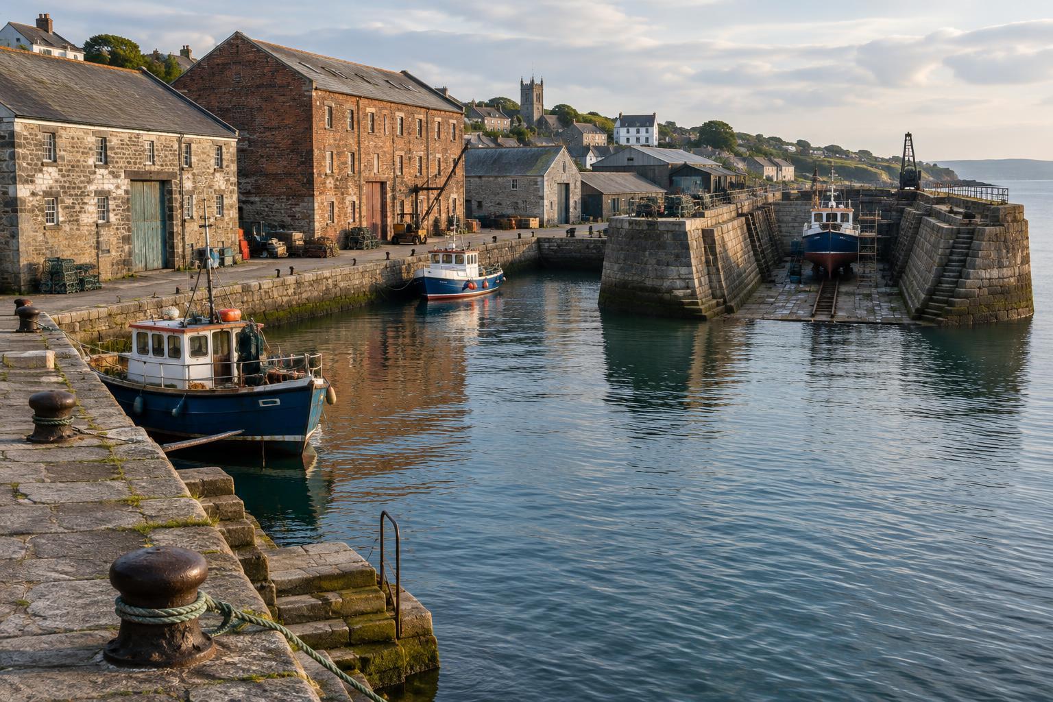
A harbor can look like a collection of attractive old buildings until you ask a simple question: where could a vessel stop? Begin at the water and look for the structures that made arrival possible. A quay is a solid landing place along the shore where boats can lie alongside. A pier or jetty projects into the water, giving vessels access where the shoreline alone may not be suitable. Their shapes can tell you something about the space available for berthing, though later rebuilding may have changed what you see.
Look down as well as across. Stone or timber edges, worn steps, mooring rings, bollards and old fenders can reveal how people secured boats and moved between deck and shore. Stairs descending toward the water may have served small craft or passengers, but their usefulness would have varied with the tide. On a tidal waterfront, the height of the quay above the water can be a reminder that crews once worked across a changing gap. Keep back from unprotected edges: historic surfaces can be uneven, slippery or unstable.
Follow the route of the cargo
From the berth, imagine a crate, barrel or sack being unloaded. Where would it go next? Wide openings facing the quay, upper-level loading doors, projecting beams or the remains of tracks may point to ways cargo was transferred and stored. Warehouses often stood close to the landing place to shorten that journey. Their arrangement mattered as much as their appearance: a working waterfront needed room to lift, sort, shelter and dispatch goods.
Now turn inland. A lane broad enough for carts, a gateway into a yard or a route toward a market may complete the picture. Harbors connected sea travel with everyday life ashore; they were not simply places where ships paused. Buildings may since have become homes, cafés or galleries, while road layouts and reclaimed land can obscure older routes. Rather than assigning every doorway a definite former use, look for a plausible sequence from vessel to quay, from quay to storage, and from storage into the town.
Find where vessels were maintained
Not every part of a harbor was devoted to trade. Boats also needed places for repair. A dry dock is a basin that can be closed off and emptied so workers can reach a vessel’s hull below the waterline. If one survives, look for its entrance, gate position, deep walls and the space around its rim where equipment and materials could be handled. Some former docks are filled in or adapted, making their original shape less obvious.
A slipway offers a different clue: it is a sloping surface used to bring smaller vessels out of the water or launch them. Nearby sheds, workshops and open yards may suggest boatbuilding or maintenance, although similar spaces can have many uses. Reading these features together helps separate a harbor’s repair areas from its cargo-handling areas. It also brings workers into the story: carpenters, painters, riggers and others needed access to vessels, tools and supplies, not just a view of the sea.
Read the layers, not just the oldest stones
Harbors rarely belong to a single era. A stone quay might meet a newer concrete extension; a warehouse could have enlarged windows from a later conversion; a former working basin might now hold leisure craft. These changes are part of the place’s history. Try walking the same stretch in both directions. Facing the water emphasizes approaches and shelter, while facing inland makes streets, storage and settlement easier to notice.
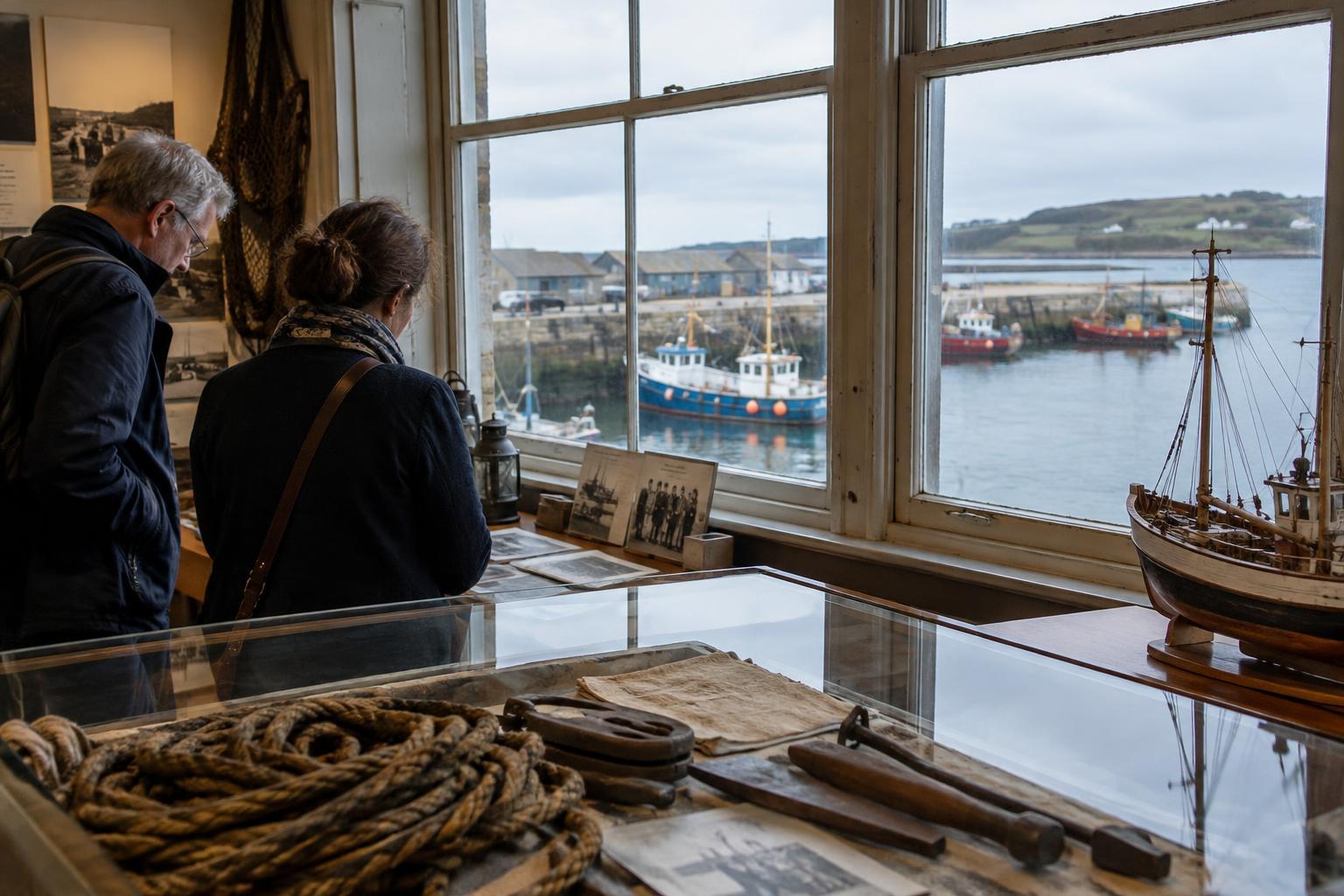
Treat what you see as evidence rather than a complete account. A plaque, a local museum display or a harbor walking route can help test an interpretation, but gaps will remain, especially where structures have been removed. Stay on public routes, respect active working areas and avoid treating moored boats or private yards as exhibits. The reward is a more attentive visit: instead of seeing separate landmarks, you begin to see the harbor as a connected system built to move, protect and maintain life across the water.