Begin with one port and one question
Historic trade routes can look like tidy lines between ports on a map. In practice, a voyage might involve intermediate stops, changing cargoes and connections that shifted over time. Rather than trying to reconstruct every journey at once, choose a manageable question: Where did a port’s salt, timber or ceramics come from? What left its quays? Which nearby island served as a stopping point? A specific commodity or period gives you a thread to follow.
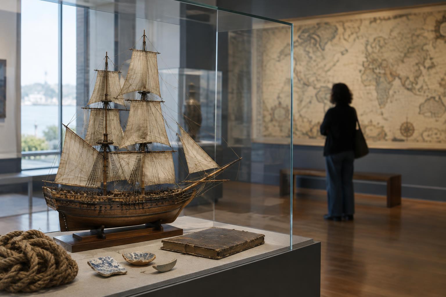
Before you visit, look for a local museum, archive or heritage center that describes the port’s maritime history. Note any unfamiliar place names and older names for the port itself; spellings and political boundaries may have changed. Treat an introductory display as a starting point, not a complete account. It can suggest what to look for on the waterfront and which questions remain unanswered.
Read the harbor as a working landscape
Walk from the sheltered water toward the older streets. Look for quays, warehouses, former customs buildings, markets, shipyards and roads leading inland. Their positions can suggest how cargo moved after arrival and where it was stored or taxed. A warehouse beside a quay, for example, tells you something about handling goods, but not necessarily where those goods originated. Use signs, historic maps or local collections to test what the buildings once did; a waterfront often changes purpose many times.
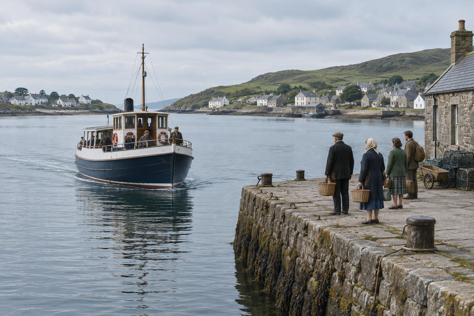
Geography matters too. A protected anchorage, a river mouth or a passage between islands may help explain why ships called at a port. Consider the routes available beyond the harbor: inland waterways, passes through high ground and roads to farming or manufacturing areas. Trade linked the sea to these places, so tracing a route can mean following a cargo in both directions—out across the water and back into the hinterland.
Follow evidence from objects to records
Start with a few objects or labels that name both a commodity and a place. A jar, length of rope or piece of imported stone may open a useful question about exchange. Ask how the object was identified, whether it was made elsewhere or merely resembles an imported style, and where it was found. One item rarely proves a regular trade route. Repeated references to the same goods and places make a stronger trail.
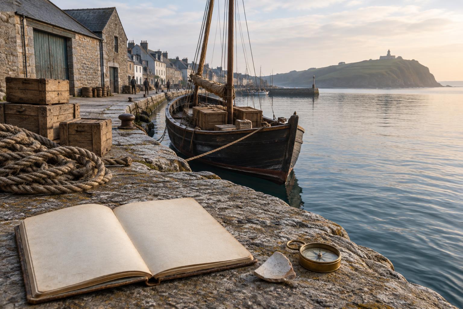
If you want to go further, look for digitized or in-person collections of harbor maps, shipping registers, customs accounts, merchants’ papers and newspapers. These sources answer different questions. A register may record a vessel’s stated origin or destination; a cargo list may describe goods aboard; an advertisement may show what a merchant hoped to sell. None alone guarantees the full path a ship took. Keep a simple notebook with each clue, its source, its approximate date and what it does—and does not—establish.
Turn place names into a cautious route map
Once several clues point to the same connection, sketch them on a map. Separate confirmed calls from likely links and unanswered possibilities. Mark the period you are studying: a port’s trading partners could differ substantially from one century to another. If a source says a ship arrived from a particular harbor, label that as its recorded departure point rather than assuming it was the original source of every item on board.
Pay attention to the conditions that made a route possible. Seasonal winds, currents, navigable channels and access to fresh water could influence a voyage, while tariffs, conflict and changes in demand might redirect it. You do not need to resolve every factor to make a useful map. The aim is to see trade as a network of decisions and constraints, not a permanent line drawn across open sea.
Keep the people behind the cargo in view
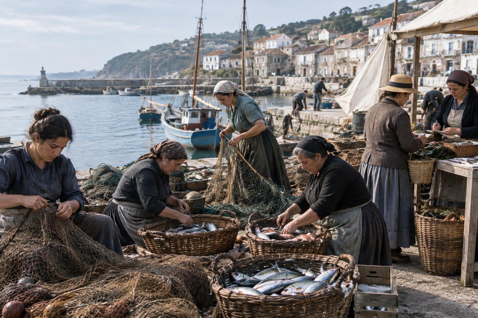
A port’s history is not only a story of ships and merchants. Dockworkers, sailors, craftspeople, market sellers and families helped sustain its connections. Depending on the place and period, those connections may also have involved conquest, forced labor or enslavement. Look for how local museums and community projects address those histories, and notice whose experiences are missing from the records you find. A merchant’s account book, for instance, may preserve prices while saying little about the people who carried or produced the goods.
On a slower visit, leave time to compare your map with the present-day shoreline. Some working spaces may survive; others may be buried, rebuilt or inaccessible. Respect active port boundaries and private property, and use public viewpoints to observe what you can. You will leave with more than a list of destinations: a sense of how a harbor connected distant shores to everyday life, and a clearer idea of which parts of that story still need investigating.