Begin with the shape of the shore
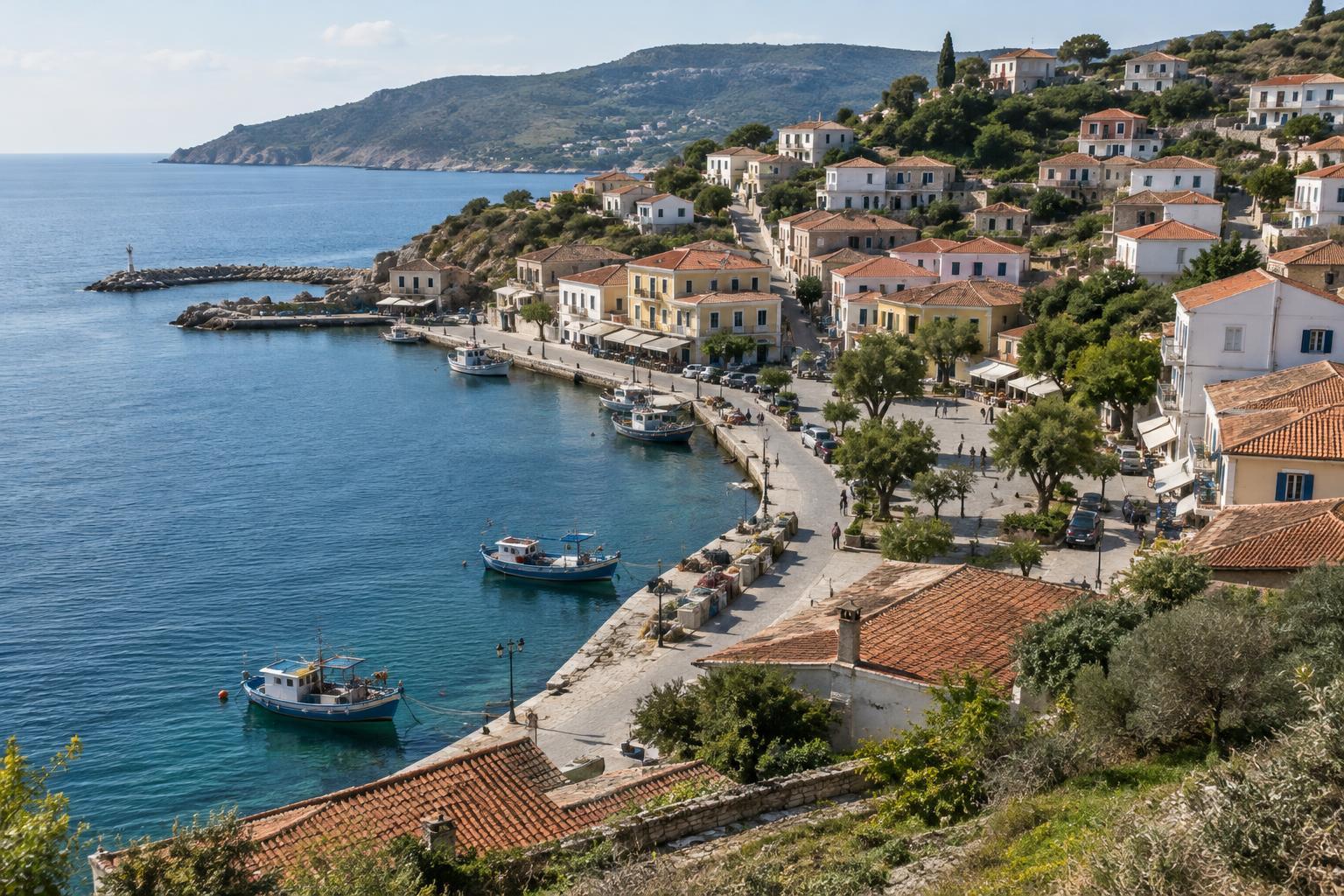
Before setting out, look at the town from a public viewpoint or a map. Is it tucked into a sheltered bay, stretched along an open beach, or built around a river mouth? The shoreline helps explain where people found room to land boats, build roads and gather. It does not tell the whole story, but it gives you a useful first sketch.
As you walk, notice where the land rises and where it stays level. A compact town may have its older streets close to a harbor and newer neighborhoods on surrounding slopes; elsewhere, a broad strip of flat land may let buildings spread along the coast. Rather than assuming every narrow lane is ancient or every waterfront building serves visitors, treat these patterns as questions to investigate.
Find the town’s working edge
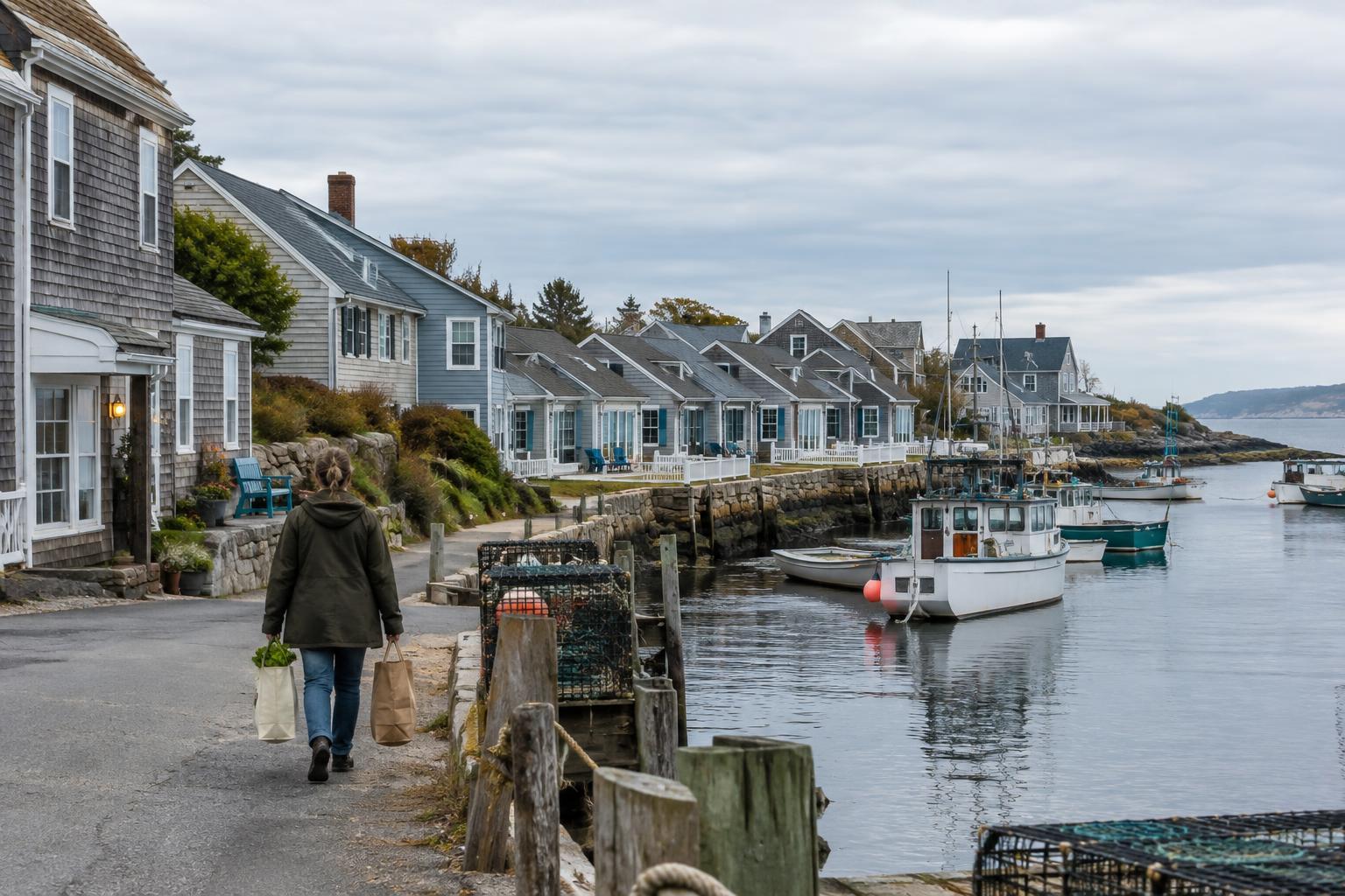
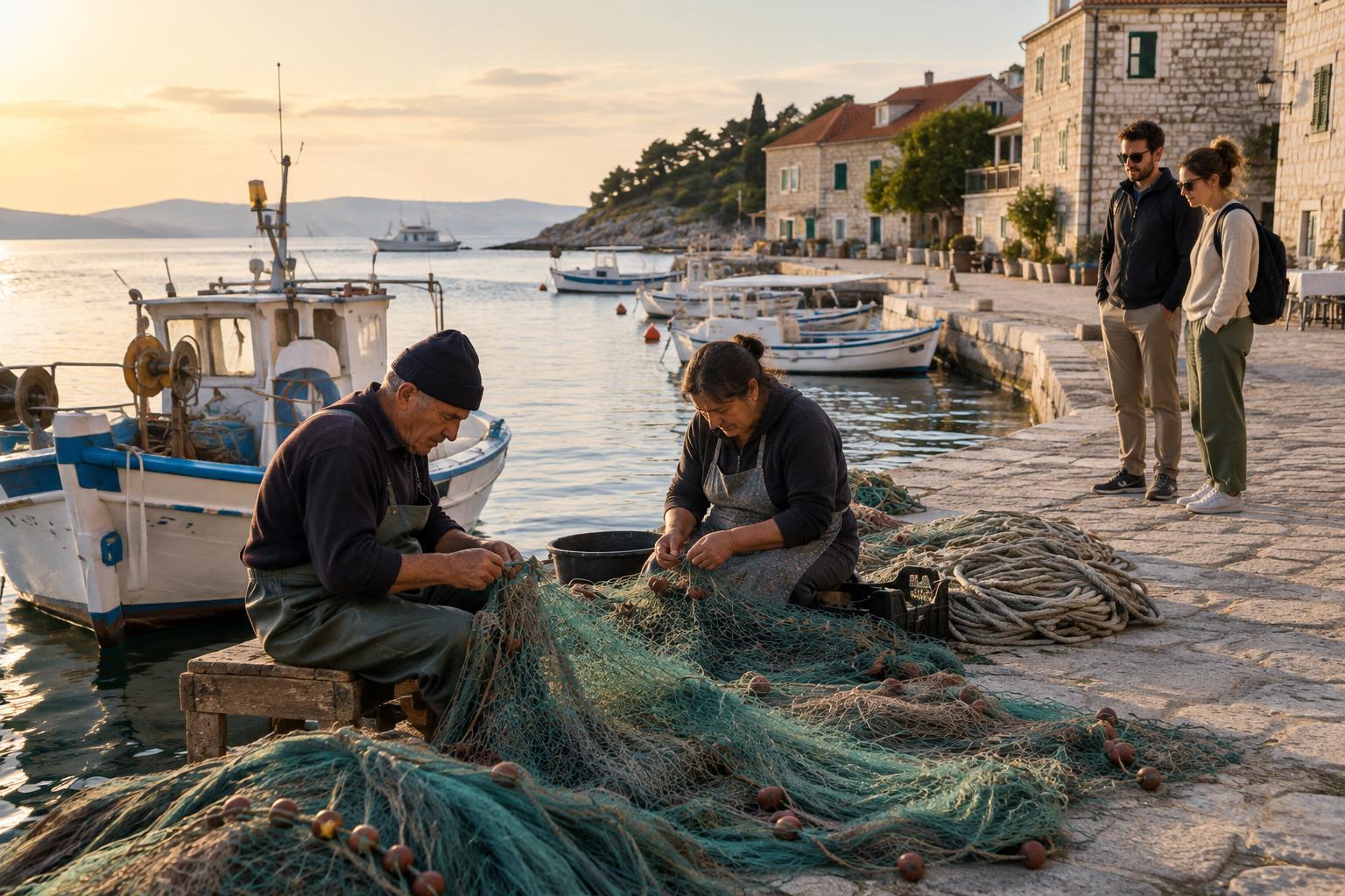
The waterfront often has more than one purpose. A quay may serve passenger boats, fishing vessels or deliveries, while a nearby promenade offers space to stroll. Look for the transitions: where bollards and loading areas give way to benches, where boatyards sit beside cafés, or where a harbor wall separates calm water from an exposed coast. Those boundaries show how the town makes room for both work and leisure.
You can observe without getting in anyone’s way. Keep access routes clear, respect gates and posted signs, and give crews space to handle equipment. If the most picturesque stretch is busy with local work, a quieter public path may offer a better view. The aim is not to decode every boat or building, but to recognize that the waterfront is part of daily life, not just a backdrop.
Follow the streets away from the water
Choose a public street leading inland and pay attention to what changes. Does it climb quickly, suggesting that level ground near the shore is limited? Does it lead to a square, market street or transport stop? Routes connecting the landing place to shops and homes can reveal how people move between the sea and the rest of town. Side lanes may offer a different view from the main road, but their purpose is not always obvious at a glance.
Notice also where roads or paths stop. A railway, steep slope, sea wall or large property can interrupt an otherwise simple walk. These barriers matter to visitors trying to get around, and they shape how neighborhoods connect. Use marked crossings and public paths rather than treating a visible destination as one you can reach directly.
Read public spaces as clues to local routines
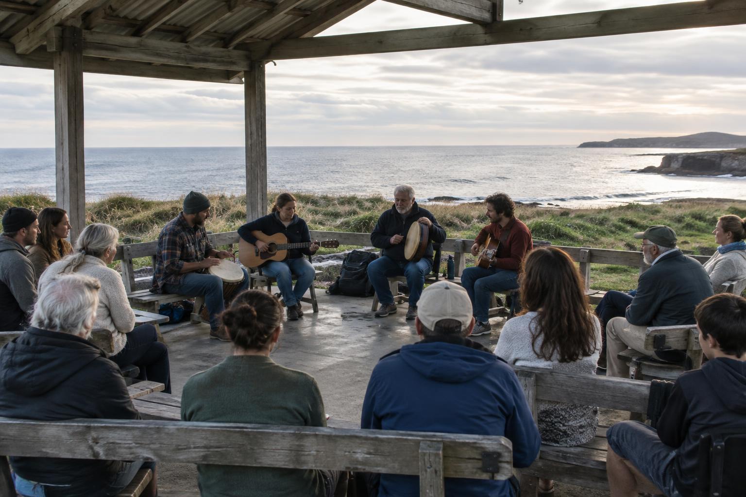
A town’s everyday meeting places may not face the sea. Look for a shaded square, a covered market, a small park or a cluster of shops used for ordinary errands. Their position can help you understand where residents spend time away from the busiest visitor routes. A place that looks quiet during your walk may have another rhythm at a different hour, so avoid drawing firm conclusions from a single pass.
Buildings can offer clues, too, but they need context. A former storehouse might now contain apartments, and a building that resembles a warehouse may still be in use. Read signs where they are available, and be comfortable leaving some questions unanswered. Curiosity is more useful than a confident story invented from appearances.
Put the pieces together on a slow walk
Try a simple loop: start at a public waterfront path, walk inland to a square or neighborhood street, then return to the shore by another route. Pause occasionally to look back. You may notice that a street frames a harbor entrance, that steps provide a shortcut up a slope, or that the busiest road follows the only easy route around a headland. Each observation adds to your mental map.
Keep changing coastal conditions in mind. Water levels and weather can affect access, particularly on low paths and exposed edges; check local signs rather than assuming a route will stay passable. By the end of the walk, you need not know the town’s entire history. If you can see how its shoreline, working spaces, streets and gathering places fit together, you are already reading it with more care.